

- Advertisement -
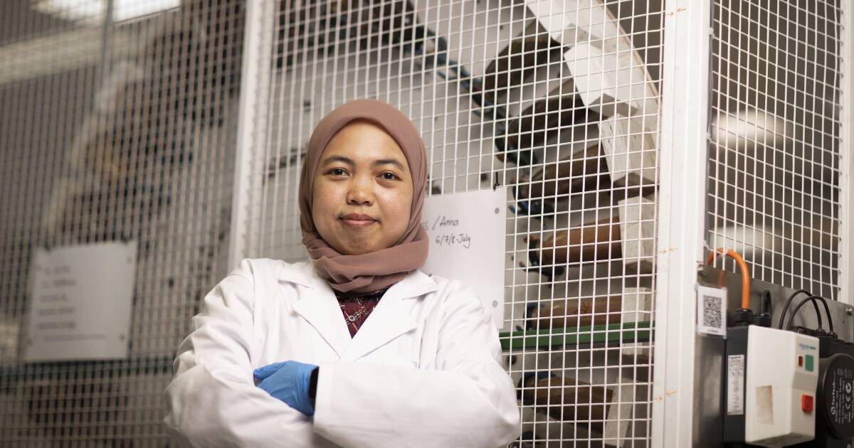
Lead developer Marliana Tri Widyastuti, a PhD student from Indonesia at the Sydney Institute of Agriculture, said the world-first mapping tool used information from satellites, weather forecasts, soil and land maps, and then applied deep learning – a type of artificial intelligence – to combine…
